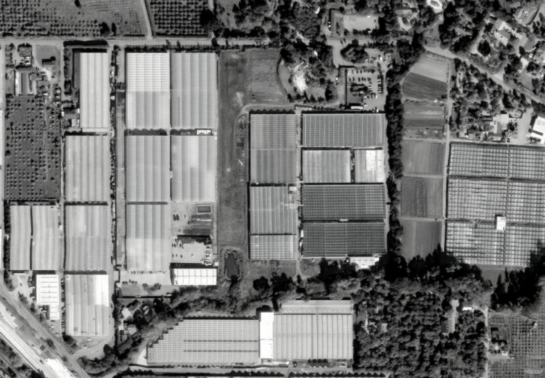
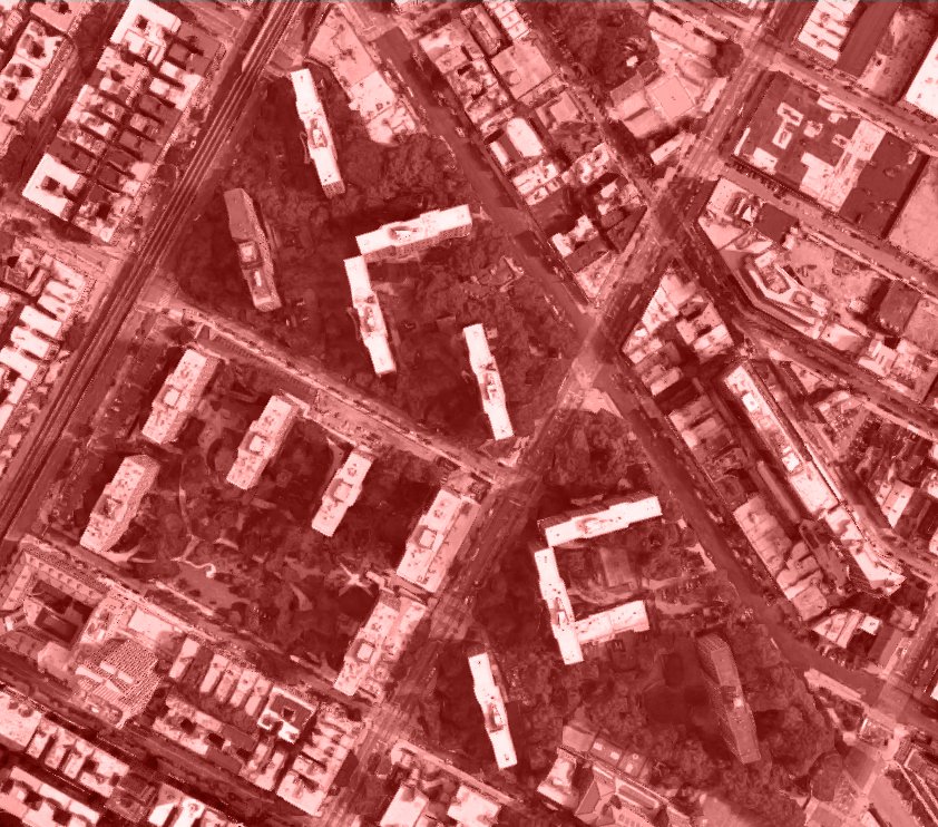
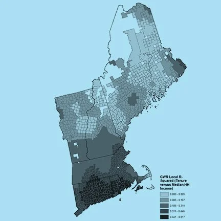
Since its commencement by the United States Geological Survey (USGS) and the National Aeronautics and Space Administration (NASA) in 1972, the Landsat program has launched seven Earth-orbiting satellites that have continuously collected electromagnetic imaging of the Earth’s surface, passing over every point on Earth every eight days. The expansive spatio-temporal scale of Landsat’s monitoring allows the production of remotely-sensed datasets particularly well-suited to observing change on the Earth’s surface over time in diverse applications, including agriculture, forestry, and ecological monitoring.
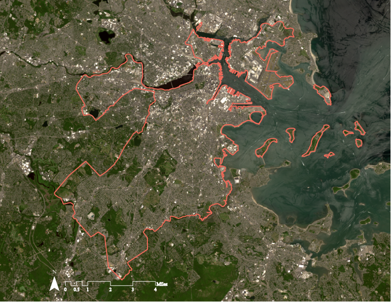
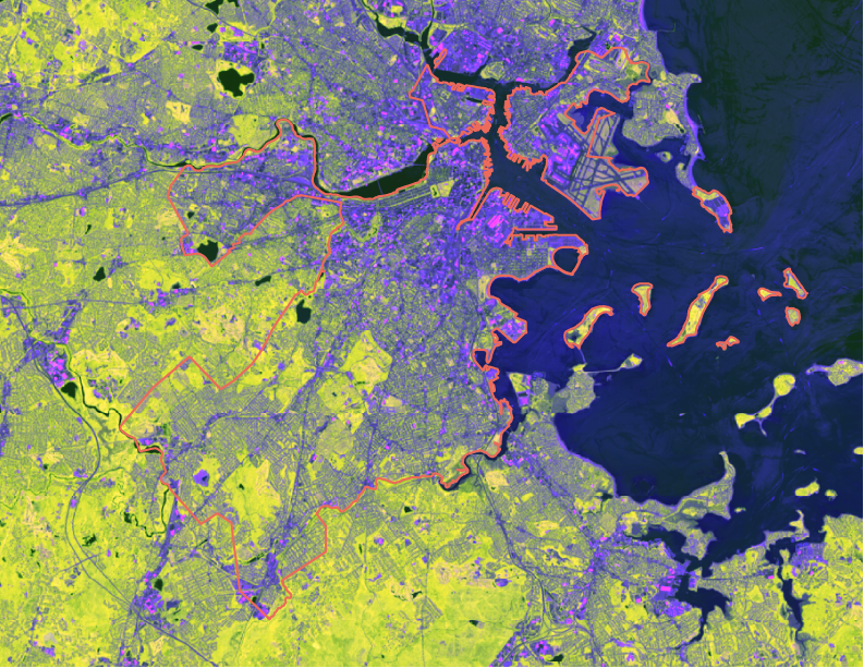
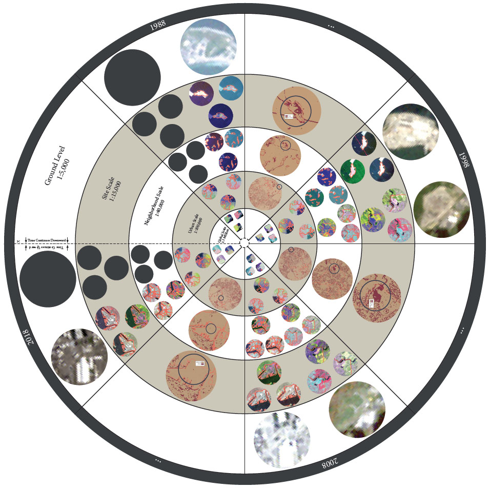
This project employs Landsat data covering the City of Boston, MA at four points in time so as to tell a story of urban change. Each scene is represented with four different combinations of raster bands, including both visible and invisible wavelengths, and a GIS-based change detection methodology is utilized in order to identify sites of urban change occurring between the known points in time. The various analytic maps are organized using an “experimental representational strategy” that prioritizes the sites of urban human intervention. Yet in so doing, the representation subverts the idea that Landsat can fully capture the creative, destructive, and transformative processes that truly influence the lived experiences of grounded urban subjects. While its view is omniscient, as well as spatially and temporally vast, Landsat and similar infrastructures are incapable of replacing “the inductive and deductive processes people use to make sense, for themselves, of the complex conditions in which they live.”
Click here to view the full project documentation.
